Google applications or services have a habit of evolving at the pace at which new technologies are introduced to the devices on which they run.
Thus, its map application, also known as Google Maps, has been working for a few years with augmented reality technology to facilitate user movements on foot.
The specific function we are referring to is Live View, which improves the information from the GPS sensor with the augmented reality elements that the phone’s camera manages to capture.
How does Google Live View work
Indeed, Live View ingeniously uses the phone camera to help in explorations at street level, being able to identify buildings, traffic signals, parks or shopping centers that serve to better orient themselves and reach the desired destination in less time. .
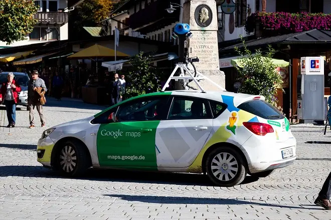
On the other hand, this Google Maps function is powered by Street View images, so it works better in cities where this Google service has coverage.
How to enable Live View in Google Maps
To use this feature, just press the Live View button in the foot navigation. Once the smartphone’s camera is turned on, you have to follow the instructions in the app, which first lead to a recognition of the position and then to your own instructions on how to get to the desired place.
However, a new update to Google Maps in relation to Augmented Reality involves this time the usual search function of Google Maps.
For this, you just have to search for a specific point, slide the information card down and press the Live button. The camera will be activated immediately along with the instructions to reach the requested destination on foot.
Image by Dominic Wunderlich from Pixabay